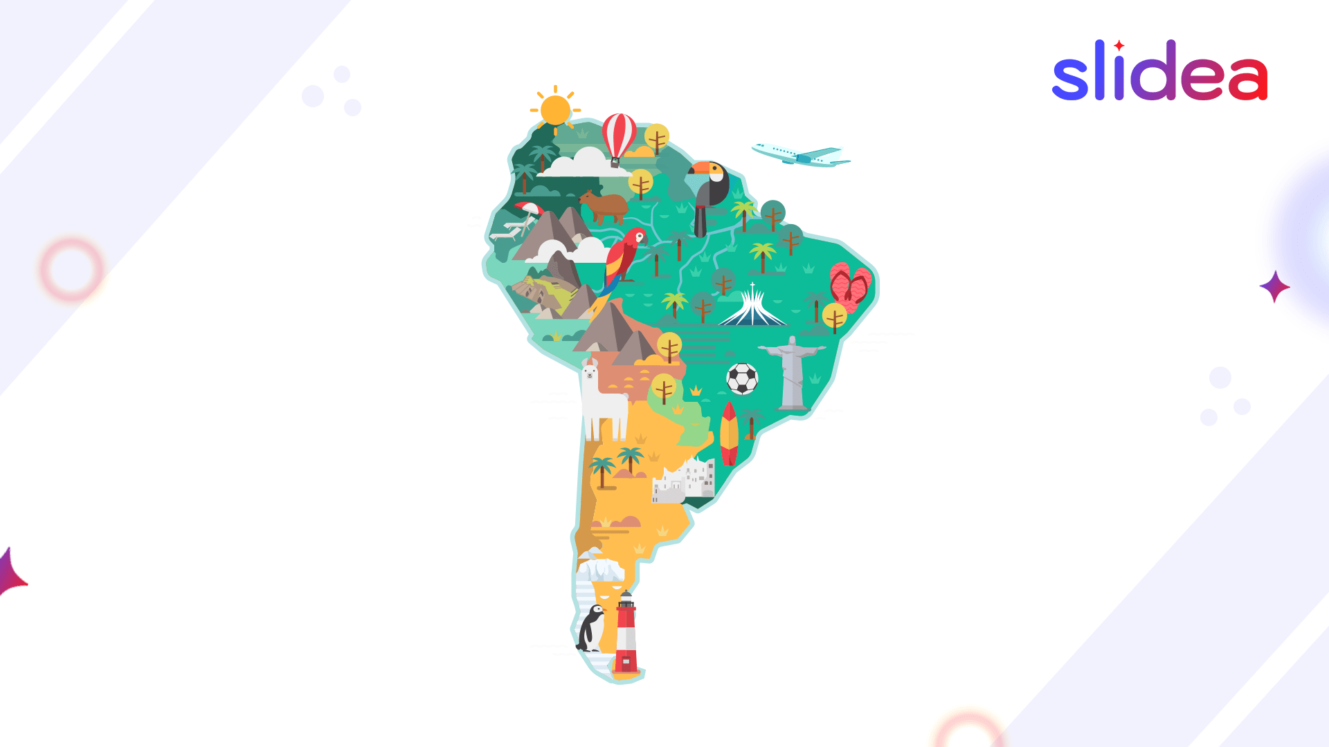
Ever looked at the South America map and thought, “Wait… where exactly is Suriname again?” You’re not alone. Geography quizzes can be tricky when you’re dealing with 12 countries, capitals, and their unique locations. The good news? Memorizing them doesn’t have to be boring. With a few smart tricks, visual aids, and interactive quiz tools, you can master the South America map in less time than you think.
Why Practice a South America Map Quiz?
- Boosts memory and focus
- Helps in geography classes
- Prepares you for school or competitive exams
Interesting Facts About South America
Before jumping into the quiz, it’s helpful to understand the basics of South America, its geography, political boundaries, and cultural diversity. Here’s a quick reference table:
| Feature | Description |
| Number of Countries | 12 |
| Largest Country | Brazil |
| Smallest Country | Suriname |
| Longest River | Amazon River |
| Major Mountain Range | Andes Mountains |
| Country with Most Borders | Brazil (shares borders with 10 countries) |
| Most Populous Country | Brazil |
| Official Languages | Spanish, Portuguese (mainly), Dutch, English, French |
| Time Zones | 4 time zones across the continent |
| Geographic Diversity | Rainforests, highlands, deserts, coastal plains |
Practice Quiz Questions by Category
Country Locations
- Which country is directly south of Colombia?
- Where is Uruguay located on the map?
- Which country lies on the northernmost tip of South America?
- Which two countries are landlocked in South America?
- Where is Argentina located on the continent?
- Which country lies between Ecuador and Peru?
- Which country touches both the Pacific and Atlantic Oceans?
- Where is Venezuela located on a blank map?
- Which country borders every South American nation except Chile and Ecuador?
- Which country shares a border with only Brazil and Suriname?
Capital Cities
- What is the capital of Argentina?
- Which city is the capital of Brazil?
- What is the capital of Peru?
- Where is Bogotá located?
- Name the capital of Chile.
- Which city is the capital of Ecuador?
- What’s the capital of Uruguay?
- What’s the capital of Bolivia?
- Name the capital city of Paraguay.
- Which capital lies closest to the Amazon Rainforest?
Country Shapes and Borders
- Which country has a boot-shaped outline in South America?
- Identify the L-shaped country in the continent.
- Which country’s borders look like a diamond on the map?
- Which country has the most straight-line borders?
- Spot the country that surrounds French Guiana.
- Which country looks like an upside-down triangle?
- Which country has a coastline that stretches eastward the most?
- What shape does the country of Bolivia resemble?
- Which country shares borders with Guyana and Venezuela?
- Name the country that borders both Brazil and Argentina.
Flag Matching
- Which country’s flag has a green diamond and blue globe?
- Match the red, white, and blue horizontal flag to its country.
- Identify the flag with a sun and light blue stripes.
- Which flag has a red star and green triangle?
- Match the yellow-blue-red tricolor flag.
- Which country has a green-white-red vertical flag with stars?
- Identify the country with a red and white split flag.
- Match the flag with a white circle and blue stars to its country.
- Which flag features a condor and volcano?
- What country’s flag includes a sword and laurel leaves?
Neighboring Countries
- Which countries border Brazil?
- What two countries border both Chile and Argentina?
- Name a country that borders five other nations.
- Which country is sandwiched between Colombia and Brazil?
- Which country borders only Brazil and the Atlantic Ocean?
- Which nation borders Bolivia, Brazil, and Argentina?
- Which two countries are on the west coast of South America?
- Which country has borders with all countries except Chile and Ecuador?
- Which country lies between Venezuela and Peru?
- What country borders both French Guiana and Suriname?
Major Rivers and Mountains
- Which river is the longest in South America?
- Name the highest mountain in the Andes.
- Which river passes through Brazil, Peru, and Colombia?
- Which mountain range stretches along the west coast?
- What major river flows into the Atlantic Ocean from Brazil?
- Name a river that starts in Peru and ends in Brazil.
- What peak lies near the border of Argentina and Chile?
- Which river is the second-longest in South America?
- Name a river found in Venezuela.
- What country is home to the Andes’ tallest peaks?
Boost Your Map Skills with Slidea
Want to make memorizing geography fun and engaging? Slidea’s interactive features let you test yourself with live quizzes, create AI-generated geography challenges, and review results in real time. You can even compete with friends remotely for extra motivation.
Best Ways to Learn South America Maps
- Use labeled and blank maps alternately
- Color-code countries for better memory
- Take short quizzes daily
- Practice with a friend or in class
- Combine learning with mini-games
Final Thought
Learning the South America map doesn’t have to feel like cramming for a geography test. With the right tricks, a little practice, and the help of interactive quiz tools, you can turn map memorization into a fun, game-like experience. The more you engage with the material using activities like live quizzes, flashcards, and visual aids, the faster the names, capitals, and locations will stick in your mind.
FAQs
Q1. How many countries are in South America?
A. There are 12 independent countries in South America.
Q2. Is Slidea free for making map quizzes?
A. Yes, Slidea offers free interactive quiz options.
Q3. Can I use Slidea in school classrooms?
A. Absolutely! It’s great for both physical and online classes.
Q4. How do I teach kids maps easily?
A. Use visuals, short quizzes, and map coloring activities.


Leave a Comment
Your email address will not be published. Required fields are marked *